Tell Zerāʿa: Geophysical Prospection
Sub-Project (Funded by the DPV) within the „Gadara Region Project“
Dieter Vieweger, (Wuppertal) et al.
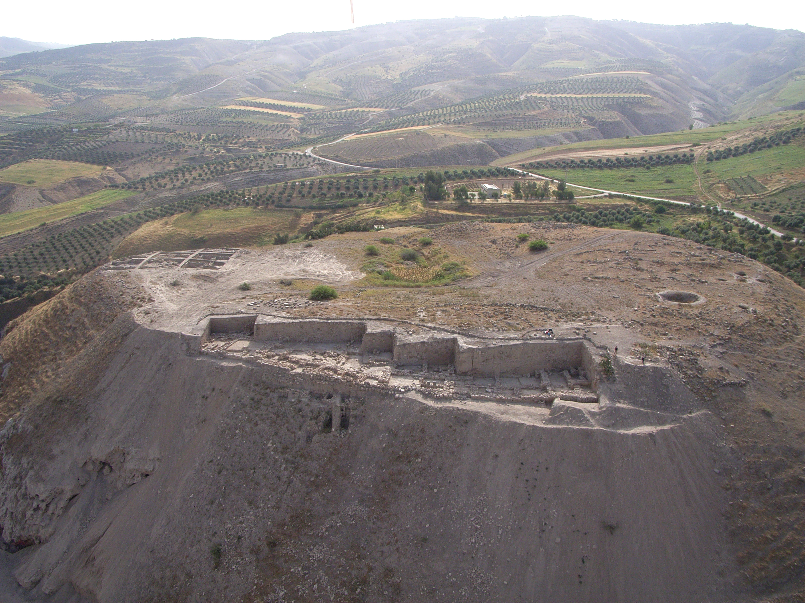
Excavations at Tell Zerā‘a
Tell Zerāʿa is a large hill some 4.5 km to the southwest of the ancient Decapolis city of Gadara in northern Jordan. It is situated along an ancient and highly important trade route, in the middle of a fertile area surrounded by two wadis. The settlement was originally built on top of a natural limestone hill, which measures about 240 m in diameter at its base. The cultural layers are between 12 and 15 m thick and cover the periods between the Early Bronze Age and the Islamic period (3200 BCE – 1900 AD). Due to this, the tell is a unique example of an extraordinarily long time of continuous settlement in northern Jordan. Geophysical prospections allow the investigation of the settlement‘s structure even in unexcavated areas.
The research mainly deals with the question of how the population responded to different climatic conditions during the 5000 years of settlement. The inhabitants‘ technical state of knowledge concerning the manufacture of ceramics, glass, faience and quartz frit and concerning metal processing have been studied. In addition, the agricultural conditions, flora and fauna, and geology of the Wadi-system have been explored.
Further Information
in: ZDPV 123/1 (2007), 1 – 27.
in: ZDPV 126/1 (2010), 1 – 28.
Further projects funded by the Society


This post is also available in: German